SGIS reference: sgis-001211
Abstract
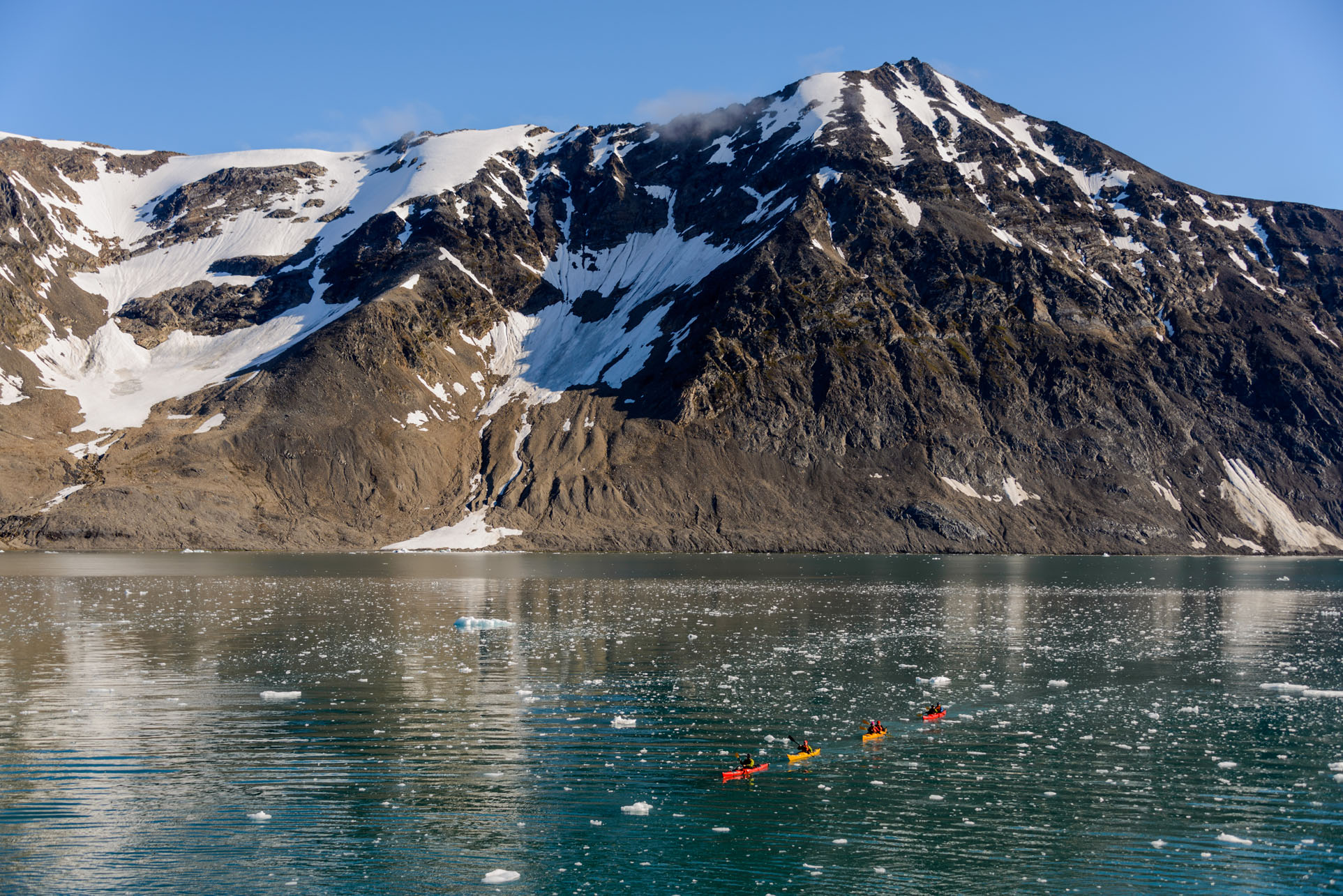
Grønland Højdemodel Overflade er en rastermodel, der repræsenterer den fysiske overflade, herunder angiver højden af både bygningsanlæg og vegetation over havniveau. Modellen egner sig til visualisering og analyser af fx Sigtelinjer.
Purpose
Purpose not provided.
Access and Constraints
Marked with otherRestrictions. Access may still be public but requires policy review.
Access Endpoints
LINK
OTHER
- Se dataproduktet på dataforsyningen.dk - Se dataproduktet på dataforsyningen.dk, hvor du kan se og læse mere.
- HØJDEMODEL OVERFLADE GRØNLAND - Grønland Højdemodel Overflade er en digital højdemodel af den fysiske overflade. BEMÆRK - Der er fundet fejl i højdemodellen for nogle stejle bjergtoppe i Grønland (mere end 100 m). Vi undersøger omfanget og mulighederne for at rette fejlene.
- HØJDEKURVER GRØNLAND - (Højdekurver Grønland)
- Endpoint
Related Leaves
No leaf links matched automatically from current realisations.
Classical Theme Tags
No ISO/INSPIRE tags matched from subjects.